

MyFoxHurricane
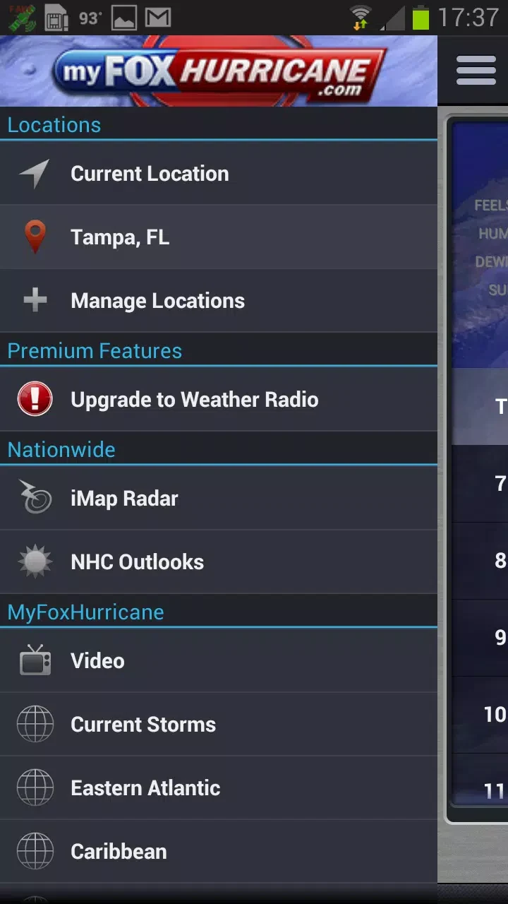
Weather Decision Technologies, Inc.MyFoxHurricane brings together hurricane tracking maps, predicted wind-strength information, radar and satellite imagery, and text and video reports. It also lets users explore Atlantic Basin hurricane and tropical storm tracks by year.
Screenshots
About this app
MyFoxHurricane brings hurricane forecasts, storm imagery, and reports together for people following activity during hurricane season. Its tracking maps show a predicted storm path and wind-strength information, while text and video updates provide further coverage from the National Hurricane Center and MyFoxHurricane.
Following a storm's predicted path
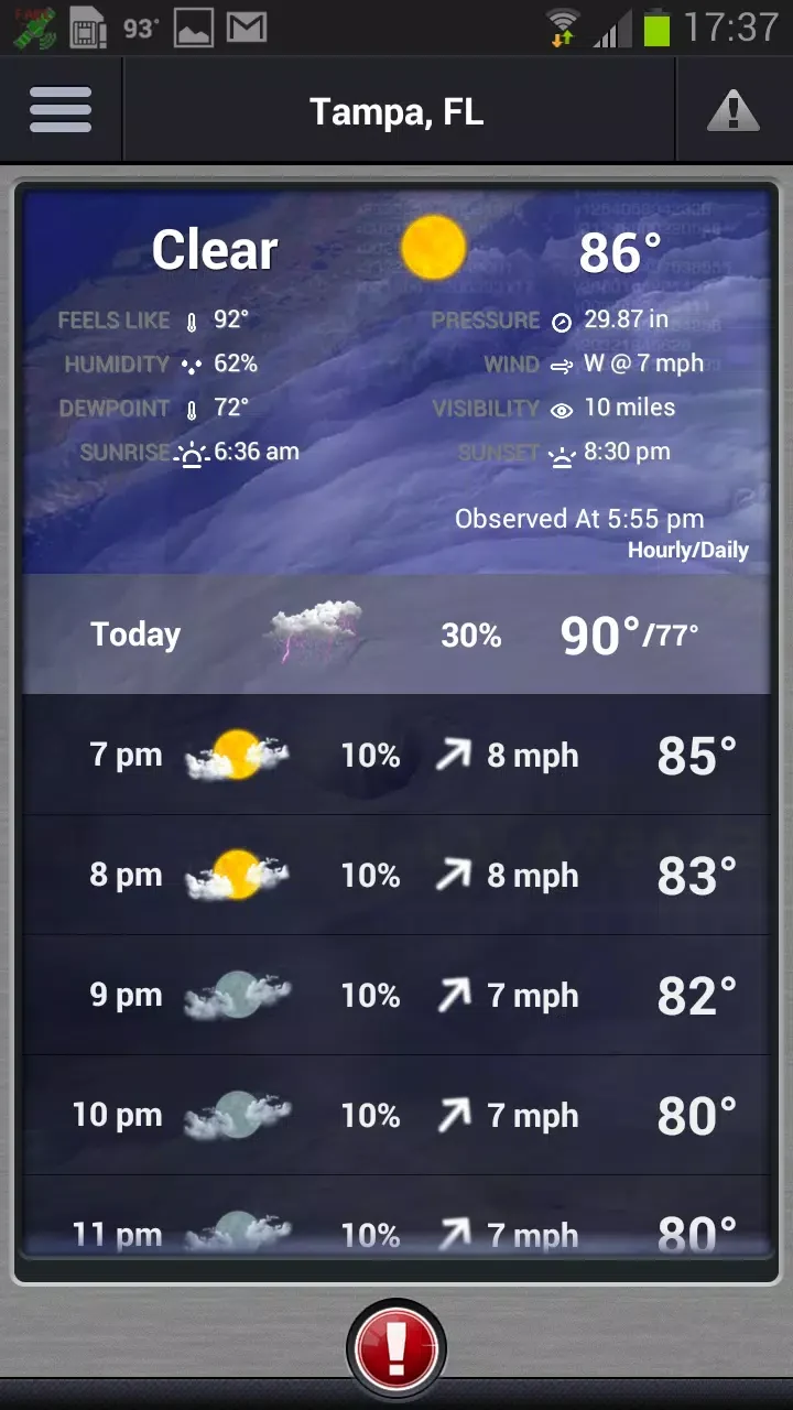
When monitoring a developing hurricane, users can explore interactive tracking maps showing its predicted path in real time. The maps also display predicted wind strength, giving readers additional information about the storm's potential intensity. Radar and satellite images offer other views of hurricane activity, alongside the app's news and condition updates.
Getting reports and video briefings
For updates beyond the map, the app provides text reports and video information from National Hurricane Center forecasters. MyFoxHurricane video reports and briefings feature hurricane specialists, with coverage addressing stages from a storm's formation through its impact. These formats let users consult both written information and video coverage within the app.
Looking back at Atlantic storms
When the goal is to review earlier hurricane seasons, users can select a specific year and view the tracks of hurricanes and tropical storms in the Atlantic Basin. This historical view provides a way to examine past storm paths alongside the app's current tracking and reporting features.
Version history
View all22 Aug 2024 · stable